LAND & WATER
LAND & WATER
LINKS
ABOUT US
The Land & Water Planning Office develops, implements and enforces the County Zoning and Septic Ordinances by maintaining official records and maps, site analysis, reviewing sewer designs, granting permits, and processing applications for zone changes, conditional use permits and variances.
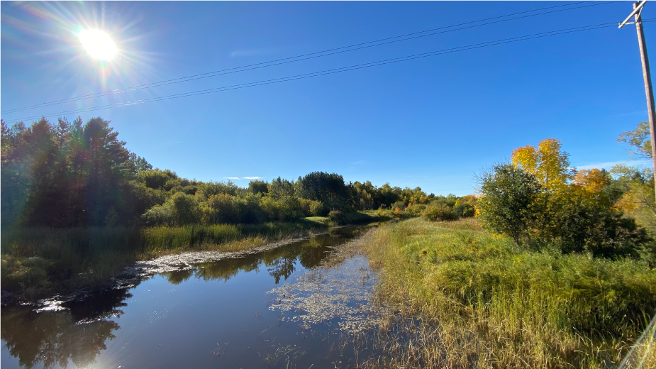
This Office works together with adjacent counties to develop and maintain watershed plans and acts as the administrator for the Wetland Conservation Act.
The Land & Water Planning Director is also the Soil and Water Conservation District (SWCD) Manager. This office works closely with the local SWCD on wetland, agricultural and shoreland projects.
STAFF
Josh Stromlund
Land & Water Planning Director
Email: Josh_s@co.lotw.mn.us
Scott Head
Environmental Specialist II
Email: Scott_h@co.lotw.mn.us
Eric Best
Environmental Specialist
Email: Eric_b@co.lotw.mn.us
HOW DO I?
“Submit a complete Land Use Permit Application, with appropriate fees, to the Land Water Planning office in-person or by mail. Complete all relevant portions as accurately as possible to help ensure quicker processing.” Click here for Land Use Permit Application
This map has property lines over aerial imagery. Click here for aerial Map
This is only meant to be a general guideline. For exact property lines, a survey is required.
“Submit a complete Flood Damage Inventory Form, to either the Land Water Planning office or Soil Water Conservation District, in-person or by mail. Complete all relevant portions as accurately as possible to help ensure quicker processing.” Click here for Flood Damage Inventory Form
Official Press Release
Lake of the Woods County Lake of the Woods
Land and Water Planning Office Soil and Water Conservation District
218-634-1945 218-634-1842 ext#4
www.co.lake-of-the-woods.mn.us/land-water/ lakeofthewoodsswcd.org/
Due to record flows and high-water conditions occurring over the entire Rainy River Basin, we are asking assistance in documenting damages on private property within the County. The Lake of the Woods County Land and Water Planning Office and the Lake of the Woods Soil and Water Conservation District are in the process of capturing flood damages which have occurred as a result of the high-water conditions. If you have experienced damage to property, conservation practices, fields and ditches, please contact the offices identified above for the 2022 Flood Damage Inventory form. We will use this information to seek federal and state financial assistance to help with repairs and cleanup for landowners. Applicable forms and additional information are also available on both websites listed above.
In addition to documenting damage with the Flood Damage Inventory form, the Land and Water Planning Office wants to ensure any action taken to protect property and infrastructure is consistent with applicable federal, state, and local agency regulations. We encourage landowners and contractors to contact this office prior to commencing work as additional documentation may be necessary.
If you should have any questions or concerns, please contact either office indicated above.
LAND & WATER INFORMATION
LAND & WATER
CONTACT
634-1945
206 8th Ave SE,
Suite #290,
Baudette, MN 56623
COVID
INFO:
As of June 29, 2020 the Lake of the Woods County Government Center and Facilities are open normal hours.
Landfill Hours: 8-4 Monday - Friday and 8-Noon on Saturday and accepting demo now.